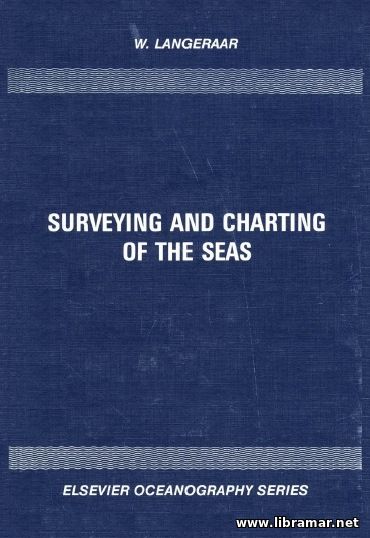
SURVEYING AND CHARTING OF THE SEAS

| Author(s) | W. Langeraar |
| Publisher | Elsevier |
| Date | 1998 |
| Pages | 635 |
| Format | |
| Size | 26 Mb |
| D O W N L O A D | |
According to the author, his original intention was that this volume would serve several different purposes, including giving readers an overall picture of the several aspects of charting and surveying and, at the same time, going a bit deeper into those of the subjects which commonly seem to require some additional attention, or are in need of a more modern approach.
Also, where deemed desirable, several completely new subjects have been introduced. In the meantime, it was considered a necessity not to overlook simpler methods and less complicated equipment, as not every survey ship possesses the modern equipment for the electronic data processing on board with all required instruments recording on-line. When writing this volume, the author hoped that it would assist hydrographic as well as all other marine surveyors facing with the difficulties when establishing an efficient hydrographic office and performing effective surveys for their country; who are often required to provide guidance to younger officers, not having readily available sophisticated data collection and further processing devices.
As declared by W. Langeraar, the author, a serious need exists for a title not only discussing the latest equipment and all associated methodologies, but which is also covering less complicated instruments and methods...
The "Read Later" function allows you to add material to this block with just one click. Just click on the icon and read the articles that interest you at any convenient time.


