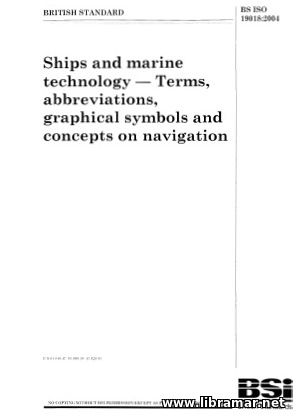
BS ISO 19018—04 SHIPS AND MARINE TECHNOLOGY — TERMS, ABBREVIATIONS, GRAPHICAL SYMBOLS AND CONCEPTS ON NAVIGATION

| Author(s) | BS |
| Publisher | BS |
| Date | 2004 |
| Pages | 24 |
| Format | |
| Size | 1 Mb |
| D O W N L O A D | |
This is the official release of the BS ISO 19018-04 standard. The publication is divided into several chapters. The first one defines the scope of the document, the following ones address related normative references and special units applicable to the maritime navigation; the others are as below - Course, heading, track and speed; Bearings; Corrections; Influence of currents and winds; Geographical coordinates, positions, lines, graphical symbols; Waypoint navigation; Terms of time; Astronomical navigation; Depth of water and tides; Terrestrial magnetism; Radar navigation; LORAN-C; Global Positioning System.
This team of authors and editors who prepared on this standard, made their best trying to include the maximum possible number of important and relevant abbreviations, maritime terms and graphical systems - they are all frequently used in marine navigation on board vessels. It shall be noted, however, that the abbreviations listed in this paper should not actually be used in math formulae; the symbols that are allowed to be used in formulae are mentioned. The navigation itself if the process of finding the exact position of the ship; it also includes the planning, recording and controlling of how the vessel is moving from one position to another.
The "Read Later" function allows you to add material to this block with just one click. Just click on the icon and read the articles that interest you at any convenient time.


