Nautical Charts & Tables

17.07.2017
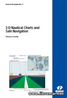
3—D NAUTICAL CHARTS AND SAFE NAVIGATION

Though there are so many electronic devices used on the bridges of modern vessels for safer and easier navigation, their navigators keep losing the orientation. Among the reasons for that we would note the excessive workloads caused by too many items to be read and compiled, as well as the associated navigational information displayed in a demanding way, plus short time available to make the decision because of the high speeds, as well as the long hours of work and fatigue because of the minimum ship manning.

   This title is intended to address the problems of navigation map information that is displayed not in the optimal way. It presents three newly introduced concepts, namely no go shipping areas, bridge perspective and dual-lane seaway network. Reading of the subject maps could be quite difficult because of the mental rotation problem which can actually be eliminated using the charts by allowing the 3D charts to be viewed from the egocentric perspective.


The associated calculations for the purpose of checking if there is enough water under the keel of the vessel can be handled by chart system and also displayed as no go and free water areas. The above stated concepts have been tested in a lab as well as in prototyping project and in numerous interviews and the results obtained were promising...


3264 Viewing 0 Comments Read more
16.07.2017
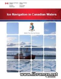
ICE NAVIGATION IN CANADIAN WATERS

This paper has been published by the CCG, standing for the Canadian Coast Guard, in co-operation with several Canadian authorities. The intention of the authors of the document was to provide necessary assistance to the vessels operating in all Canadian waters when iced, including Arctic waters.

The paper is expected to provide ship Masters and watchkeeping crew of all vessels passing Canadian iced waters with the required understanding of the applicable regulations as well as potential hazards, techniques of safe navigation and shipping support services. The document is arranged in five chapters. The first one is dedicated to the icebreaking and SSS, i.e. shipping support services pertaining to operational consideration, for example reporting requirements and communications. It is followed by the chapter covers the guidelines and requirements, while the third chapter addresses the matters of ice climatology as well as environmental conditions.

Finally, the last two chapters of the publication address the navigation itself, including the information included to assist inexperienced personnel and get them familiarized with the passage planning and associated navigation procedures, as well as ship performance in in iced conditions, plus basic information relating to the design and construction of the vessels for ice operations covering hull construction, engineering and auxiliary systems.

2694 Viewing 0 Comments Read more
16.07.2017
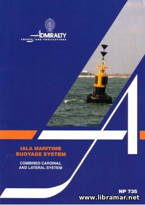
IALA MARITIME BUOYAGE SYSTEM

Obviously, the most serious test of the buoyage systems occur once the mariners have been  directly confronted by the light marking some uncharted danger, for example a recent ship wreck, and particularly it this happens at night or in the conditions of low visibility. That is exactly the time when mariners must make the immediately, correct and positive decisions.

The very beginnings of the uniform buoyage system emerged more than a century ago when some of the countries did agree on marking of the port side of shipping channels with the can buoys of black color; the starboard hands, in turn, were marked with the conical buoys of red color. However, this caused some discrepancy between the ways of using and marking the buoys in Europe and North America. There have been several conferences held on this matter to work out a single buoyage system, however without any significant success until 1936 when one of the proposed systems was agreed.

Again, some of the countries did not become signatory to the convention and developed their own, original and opposite buoyage systems. Long story short, all efforts have finally resulted in the establishment of the IALA system and its wide implementation all over the world. Note that in some parts of the planet the conversion to the IALA systems has not been completed yet...

11698 Views 0 Comments Read more
15.07.2017
BIMCO ICE HANDBOOK

We all know that the ice is deservedly considered a potentially serious obstacle to any vessel, and even to an ice-breaker, and really experienced ice navigators develop a healthy respect to the whole strength and power of ice presented in any form.

The present handbook was prepared by the BIMCO specialists and officially released by this organization with the ultimate aim to make readers a bit more conscious of the benefits and actual necessity of preparations to be done before they can commit themselves to undertaking a voyage that may bring their vessel into the waters covered by ice.

Note that this manual is not an attempt to cover all important areas of navigation in the iced waters, but it still aims to provide mariners with the elementary general guidance on all intricacies commonly involved in trading in such conditions. The publication is mainly expected to be used by navigators as a sort of quick reference tool and that is the reason why it shall be readily available to all people directly engaged in chartering well before they direct the ship into waters where ice might be present at the time of the intended passage.

The volume starts with the Captain's Checklist followed by the information covering different regions. In short, the volume contains lots of specific and very valuable information that will be of great use for all people navigating through icy waters.

4291 View 0 Comments Read more
14.07.2017
ATLANTIC ISLANDS

The content of the present work is based on the results obtained during the surveys carried out more than decade. All required corrections have been made from land-based and sea visits to the harbors and ports described in the book and using the valuable contributions by yachtsmen visiting those ports and harbors and also from the officially released notices.

Note that the publication contains selected information and data and cannot therefore be considered definitive. It does not cover all selected info and shall not be relied for navigational purposes on alone. The book should rather be used together with other relevant hydrographic information. The author and publishers of this title hope that the information and data contained hereby will serve as the useful practical aid to all navigators.

Note, however, that the safety of the ship depends on the judgment of the Master who shall make all efforts to properly assess all available published and unpublished information. The plans included in this book shall not be used for ship navigation since they have been designed to support the text and it means they are to be used with the charts only. However, the author tried to locate the anchorage and harbor plans adjacent to the corresponding text.

3123 Viewing 0 Comments Read more
13.07.2017
ADMIRALTY GUIDE TO THE PRACTICAL USE OF ENCS

The main purpose of the present publication was to assist all navigators to acquire and further maintain a higher level of knowledge relating to the content and use of the electronic navigation charts in ECDIS. The content of the volume is expected to supplement and reinforce the elements of the ECDIS training addressing the use of navigation chart data together with the interpretation.

Note that the book is not intended to replace any of the requirements for the professional training outlined in the IMO Model Course of the Manila Amendments to the STCW Convention. The whole process of navigating using the ECDIS fundamentally differs from the regular navigation by means of the paper charts. The ECDIS present the mariners with highly flexible displays offering a serious increase in the safety and situational awareness. Such equipment should actually allow for more time for the watchkeepers to properly maintain visual watch.

Note, however, that in case the navigators do not have a full understanding of the ECDIS display and settings, they can easily misinterpret the chart displays and this can result in the safety of the ship compromised. This publication shall also be included in the list of the documents that are to be on the shelf of any mariner and on the navigation bridge of any vessel equipped with the ECDIS, for training and reference purposes.

6118 Views 0 Comments Read more
13.07.2017
ADMIRALTY GUIDE TO ENC SYMBOLS USED IN ECDIS

This encoding guide was released with the intention to provide users of the electronic charts with the detailed guidance on what exactly is necessary to produces a good uniform and consistent IENC. For all of the classes and attributes together with their values used with an IENC, this guide will provide a basis for its establishment, and also provide description of its relationship to the real life entity.

The book will also provide required criteria for the proper use of inland ENC and give the specific examples of encoding supplemented with the graphic data. The guide covers all minimum objects to be contained in IENC, such as the waterway bank, channel boundaries, isolated dangers, officially released aids to navigation, contours of the existing dams and locks, waterway axis etc. In addition to all above requirements, the present guide covers recommended objects, plus attributes and values considered suitable for any IENC worldwide. Each country or geographical region defines which of them will be necessary to meet local requirements.

Note that this is a living document; it means that its content is subject to modifications done in order to accommodate the development of the future IENC. Two fundamental procedures have been established to making the amendments to this title, the one addresses the proposals for new and copied object classes/attributes/attribute values while the second one covers other changes.

8536 Views 0 Comments Read more
« 1 2 ... 9 10 11
Enter the site
Read Later

    The "Read Later" function allows you to add material to this block with just one click. Just click on the icon and read the articles that interest you at any convenient time.

Top Posts
Rate my site