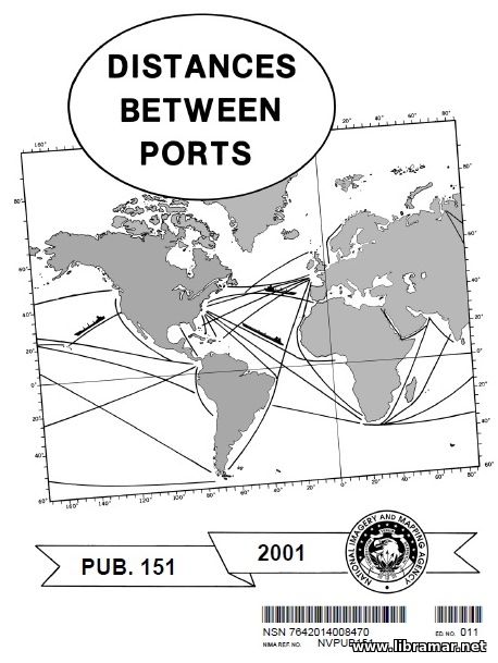
NVPUB 151 DISTANCES BETWEEN PORTS

| Author(s) | National Imagery and Mapping Agency |
| Publisher | National Imagery and Mapping Agency |
| Date | 2001 |
| Pages | 139 |
| Format | |
| Size | 2 Mb |
| D O W N L O A D | |
This edition of the Pub. 151 supersedes all previous releases. The distances stated in the table are in nm (nautical miles). Most of those distances are representing shortest routes and sometimes longer routes taking advantage of the favorable currents. In some cases the increased distances are shown; subject distances are resulting from the navigation routes that have been selected in order to avoid the dangers to navigation, for example the ice.
The ports of departure have been listed in alphabetical order together with the distances to the ports of arrival that have been listed straight below them. The authors have also listed the distances to the appropriate junction points. In order to obtain the required distance, users first have to find the port of departure in the list and then select the port of arrival and distance below. In the majority of cases, the distances in to and return directions are reciprocal; however, it may happen that they differ due to the different routes used taking advantage of weather and currents, as mentioned above.
In order to get the distance over the route passing through the junction point(s) you will have to find and manually add all distances for all of the sections into which the original route has been divided. The book contains charts that show the general routes, junction points in Atlantic, Indian and Pacific Oceans, and conversion tables...
The "Read Later" function allows you to add material to this block with just one click. Just click on the icon and read the articles that interest you at any convenient time.


